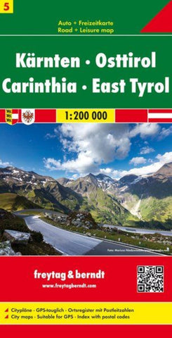
Carinthia - East Tyrol, road map 1:200,000
Carinthia at 1:200,000 in a series of road maps from Freytag & Berndt, the country’s leading publishers, with a separate index attached to the cover. Information includes sightseeing routes and long-distance hiking trails.
The maps have clear, effective relief shading to show the topography and indicate steep roads with gradient marks, show traffic restrictions and seasonal closures on mountain roads, etc. Tourist information includes scenic roads and special tourist sightseeing routes, places of interest, campsites and youth hostels, etc. An overprint highlights the national network of the long-distance footpaths indicating, where appropriate, their European numbers. A grid in steps of 10 indicates latitude and longitude. *Map legend includes English.* A separate index attached to the cover gives the postcode for each locality.
- Product Number: FB_A_5_19
- Reference Product Number: - None -
- ISBN: 9783850843454
- Date of Publication: 6/30/2019
- Folded Size: 10.02 inches high by 5.11 inches wide
- Unfolded (flat) Size: 126 inches high by 87 inches wide
- Map format: Folded
- Map type: Trade Maps - Road
- Geographical region: Austria