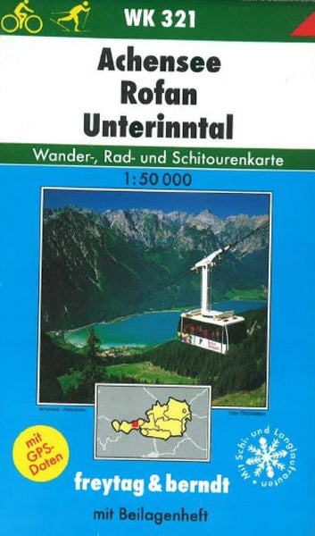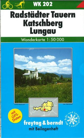
Radstaedter Tauern, Katschberg-Lungau, WK 202 by Freytag-Berndt und Artaria
Folded hiking map of Radstad Tauern, Katschberg Pass, and Lungau area, Austria Central Alps. Includes information and index booklet in German. Map legend in German, English, and French.
- Product Number: 2032069M
- Product Code: FB_WK_50_202
- ISBN: 9783850847179
- Year of Publication: 2001
- Folded Size: 8.27 x 4.72 inches
- Unfolded Size: 29.92 x 35.43 inches
- Map type: Folded Map
- Geographical region: Austria