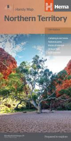
Northern Territory : handy map : 12th edition
A fully indexed map of the Northern Territory that has camping areas, rest areas, 24-hour fuel, national parks and more marked on the mapping for touring throughout the territory.
?24-hour fuel
?National parks
?Rest & camping areas
?Fully indexed
- Product Number: HEMA_NT_H_19
- Reference Product Number: 2342031M
- ISBN: 9781925625684
- Date of Publication: 6/1/2019
- Folded Size: 9.84 inches high by 4.72 inches wide
- Unfolded (flat) Size: 34.45 inches high by 19.69 inches wide
- Map format: Folded
- Map type: Trade Maps - Road
- Geographical region: Australia
- Geographical subregion: Northern Territory

