North East New South Wales
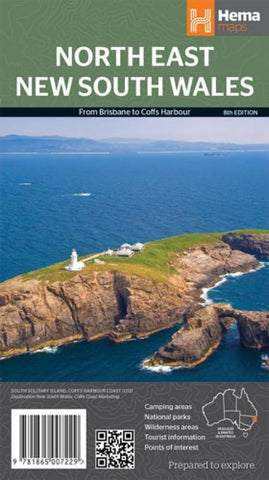
A regional map of North East New South Wales (1:375,000) that is the perfect companion for touring through North East New South Wales.
The map features information on the major touring routes through the region including the Summerland Way, Bruxner Highway, Waterfall Way and Gwydir Highway, as well as major tourist attractions along both the Pacific Highway and the New England Highway.
Also included are listed national parks within the region, contact information and events.
- Product Number: HEMA_NSW_NE_13
- Reference Product Number: 2173166M
- ISBN: 9781865007229
- Date of Publication: 6/1/2013
- Folded Size: 9.84 inches high by 5.51 inches wide
- Unfolded (flat) Size: 27.56 inches high by 39.37 inches wide
- Map format: Folded
- Map type: Trade Maps - Road
- Geographical region: Australia
- Geographical subregion: New South Wales

