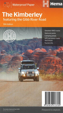
The Kimberley : featuring the Gibb River Road
This edition of Hema’s best-selling Kimberley map features the latest mapping and points of interest in a stunning new cartographic style. It combines Hema’s entire database of remote roads and 4WD tracks with touring points of interest and topographic information. Also included is national park information and relevant contact details for pre-trip planning and use on the road or track.
This waterproof regional map of the Kimberley features the Gibb River Road. On the reverse are inset maps for Purnululu National Park, the Dampier Peninsula and the Parry Creek area. Detailed trip coverage and drive detail for the Gibb River Road is featured as well, with inset mapping covering the journey and corresponding text to guide explorers.
- Product Number: HEMA_KIMBERLE_17
- Reference Product Number: 2255262M
- ISBN: 9781876413705
- Date of Publication: 6/1/2017
- Folded Size: 9.84 inches high by 5.51 inches wide
- Unfolded (flat) Size: 39.17 inches high by 27.36 inches wide
- Map format: Folded
- Map type: Trade Maps - Road
- Geographical region: Australia
- Geographical subregion: Western Australia