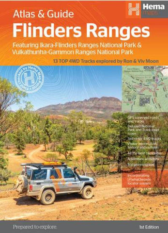
Flinders Ranges, Australia Atlas & Guide
This first edition of Hema’s Flinders Ranges Atlas & Guide features Hema’s distinctive and informative maps, all of which have been field checked by Hema’s Map Patrol to ensure the best possible accuracy with the latest mapping data. Written and researched by some of the most experienced outback travelers in Australia (including industry doyen, Ron Moon), the guide provides extensive and up-to-date information for the whole of the Flinders Ranges, from its southernmost tip, where it brushes against the waters of the Spencer Gulf, to its northern extremity beyond Arkaroola and the rugged Gammon massif.
Extensive cultural information and stories, along with the low-down on the European exploration and development of the region will ensure that today’s travelers see the country in a new, exciting and enlightened manner.
Comprehensive details to towns, national parks and each and every station property (open to the public) for hiking, cycling, camping, accommodation and four-whee
- Product Number: HEMA_FLINDERS_AT_21
- Reference Product Number: - None -
- ISBN: 9321438001676
- Date of Publication: 6/1/2021
- Folded Size: 5.51 inches high by 9.84 inches wide
- Unfolded (flat) Size: 39.17 inches high by 27.17 inches wide
- Map format: Folded
- Map type: Atlases - Popular/Travel
- Geographical region: Australia
- Geographical subregion: South Australia

