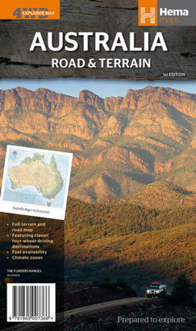
Australia : road & terrain : 4wd explorer map
Australia Terrain and Road Map at 1:4,500,000 from Hema, showing the road and rail network on a base highlighting the country’s topography, plus on the reverse beautiful colour photos and brief descriptions of some of Australia’s classic 4WD destinations, including the Kimberley, Top End, Cape York, Fraser Island, etc.
The map shows the country’s road and rail network on a base with bold altitude colouring to indicate the topography. National parks and other protected areas are marked, as are Aboriginal Lands and restricted entry/military zones, although, given the altitude colouring, not as prominently as on Hema’s other road maps of Australia. Main highways are shown with names, roads distinguish between surfaced and unsurfaced routes, and across the Outback main 4WD tracks are marked. Driving distances are indicated on most routes and outside the main populated areas locations of outback roadhouses or fuel shops are marked. The map also shows main railway lines. Latitude and
- Product Number: HEMA_AUS_ROAD_14
- Reference Product Number: 2173914M
- ISBN: 9781865007366
- Date of Publication: 6/1/2014
- Folded Size: 9.84 inches high by 5.51 inches wide
- Unfolded (flat) Size: 39.37 inches high by 34.25 inches wide
- Map format: Folded
- Map type: Trade Maps - Road
- Geographical region: Australia
- Geographical subregion: New South Wales,Northern Territory,Queensland,South Australia,Tasmania,Victoria,Western Australia

