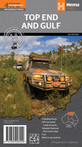
Top End and Gulf, Australia by Hema Maps
A regional waterproof map of the Top End and Gulf for discovering the region by 4WD. Combining with the main map are inset maps of the Darwin region, Gregory National Park, Nhulunbuy, Keep River National Park and Boodjamulla (Lawn Hill) National Park. There is additional tourist information for Arnhem Land, the Roper River trek, Darwin region, Douglas-Daly district, Natures Way, Victoria Highway, Katherine Region and the Stuart Highway Region. Marked on the map are camping areas, GPS surveyed roads and tracks, fuel, and more information for 4WD tourers.
- Product Number: 2171629M
- Product Code: HEMA_TOP_G
- ISBN: 9781865008929
- Year of Publication: 2014
- Folded Size: 9.84 x 5.51 inches
- Unfolded Size: 26.77 x 38.58 inches
- Map type: Folded Map
- Geographical region: Australia