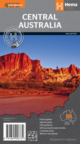
Central Australia, Australia by Hema Maps
An off-road regional map of central Australia (1:2,000,000) that covers between Woomera in the south to Tennant Creek in the north, then from Windorah in the east past Yulara to the Warakurna Roadhouse in the west. On the opposite side are travel tips, photos, map coordinates and background information on outback regions including the Red Centre, East & West MacDonnell Ranges, Finke River region, around the Old Ghan, the Simpson Desert, Flinders Ranges, Corner Country, Channel Country, and Mt Isa to Tennant Creek. Central Australias Great Trips are outlined also, with the Strzelecki Track, along the Stuart, Birdsville Track, Oodnadatta Track, Tanami Road, Sandover Highway and Plenty Highway featured. Included in each tracks description is the length, longest time without fuel, facilities and a drive description. Features GPS surveyed roads and tracks, GPS positions, fuel supplies, national parks, camping areas, great Central Australia off-road trips, events by month, and important contact information
- Product Number: 2140697M
- Product Code: HEMA_CENT_AUS
- ISBN: 9781865006734
- Year of Publication: 2013
- Folded Size: 5.51 x 9.84 inches
- Unfolded Size: 26.38 x 28.74 inches
- Map type: Folded Map
- Geographical region: Australia