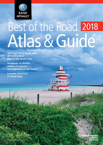
United States, 2017 Best of the Road, Atlas and Guide by Rand McNally
A four-color, 132-page travel guide section contains 25 vacation and weekend U.S. getaways, all hand-picked from Rand McNallys collection of Best of the Road trips. Together they provide a range of driving escapes---from beach vacations to mountain adventures to everything in between---in the Northeast, Midwest, South, and West. A completely updated, 140- page Rand McNally Road Atlas makes mapping out and taking the trips even easier.
• Recently refreshed trips have classic and new points of interest for all interests, ages, and budgets.
• Restaurant, hotel, and campground suggestions include the most authentic offerings in each place.
• New at-a-glance tips and trivia help make planning easy and fun.
• New city itineraries guide readers to and through major and mid-size urban hubs.
• Road trip maps highlight routes and destinations; city maps pinpoint key attractions and amenities.
• Hundreds of photos illustrate the scenery and sights of each trip.
Other Features
Updated maps of every U.S. state and Canadian province and an overview map of Mexico
Inset maps of over 350 cities and 20 U.S. national parks
Road construction and conditions contact information for every state conveniently located above the maps
Mileage chart showing distances between 90 North American cities and national parks along with a driving times map
Tourism websites and phone numbers for every U.S. state and Canadian province on map pages
- Product Number: 2251478
- Product Code: RM_BOTR_AT
- ISBN: 9780528017308
- Year of Publication: 2017
- Unfolded Size: 10.875 x 15.3125 inches
- Map type: Atlas
- Geographical region: United States

