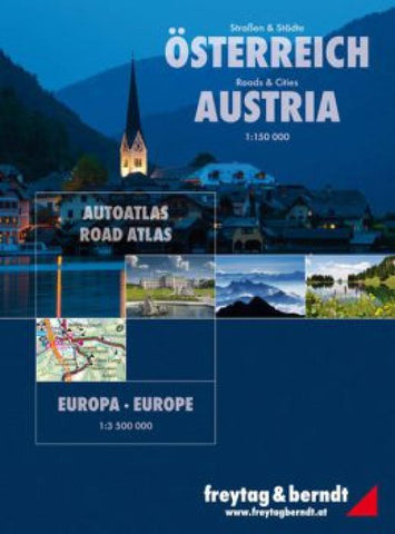
Austria + Europe, Road Atlas by Freytag-Berndt und Artaria
Spiral-bound superatlas of Austria with Europe. Contains sections for maps in 1:150,000, city maps in 1:10,000-25,000, and road maps in 1:3,500,000. Legend in 10 languages. Includes indices.
- Product Number: 2229632
- Product Code: FB_A_AT
- ISBN: 9783850844000
- Year of Publication: 2016
- Unfolded Size: 11.81 x 9.45 inches
- Map type: Atlas
- Geographical region: Austria

