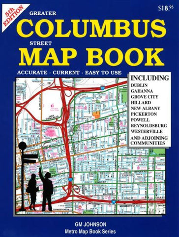
Columbus, Ohio, Street Map Book, 5th edition by GM Johnson
Spiral-bound street atlas of Columbus, Ohio. 75 color maps cover Dublin, Gahanna, Grove City, Hillard, New Albany, Pickerton, Powell, Reynoldsburg, Westerville, and adjoining communities, with full street index and points of interest. Schools and hospitals indicated on maps.
- Product Number: 2185005
- Product Code: GMJ_CLMB_OH_AT
- ISBN: 9781770682931
- Year of Publication: 2014
- Unfolded Size: 11.02 inches
- Map type: Atlas
- Geographical region: Ohio

