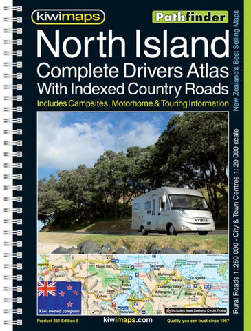
North Island, New Zealand, Drivers Atlas by Kiwi Maps
Spiral, handy-sized, 175-page road atlas with enlargements for environs of main towns, street plans of town centers, an extensive index of localities, roads/tracks and streets, plus information driving regulations.
The main section of the atlas covers the North Island at 1:250,000, with very detailed presentation of the road network from motorways to 4WD tracks. Railway lines, ferry routes, local airfields and airstrips are marked. National Parks and protected areas are highlighted, and symbols mark places of interest, a very wide range of sport and recreational facilities, wine growing areas, hot springs and thermal areas, campsites and motorhome/caravan parks, etc. Selected walking tracks are also shown, including the New Zealand Walkway and the Te Araroa Walkway. No geographical coordinates are provided.
More detailed mapping at 1:175,000 covers the environs of Auckland, Hamilton, Wellington, Napier - Hastings, Rotorua, Tauranga and the Bay of Islands.
Street plans of town centres show one way streets, parking facilities, public toilets and places of interest in: Auckland, Wellington, Gisborne, Hamilton, Hastings, Kerikeri, Mt. Maunganui, Masterton, Napier, Palmerston North, New Plymouth, Rotorua, Taupo, Tauranga, Wanganui, Whangarei and the towns around the Bay Of Islands.
The extensive, 66-page index has separate lists of cities/towns/localities, rural roads/tourist routes/4WD tracks/forestry road, streets for each of the plans, and rural features (mountain and passes, coastal and water features, forests/parks/conservation areas, campsites and caravan parks, dump stations, recreational area, etc.).
- Product Number: 2176585
- Product Code: KIWI_NI_RR_BM
- ISBN: 9415871002663
- Year of Publication: 2015
- Unfolded Size: 10.24 x 7.87 inches
- Map type: Atlas
- Geographical region: New Zealand