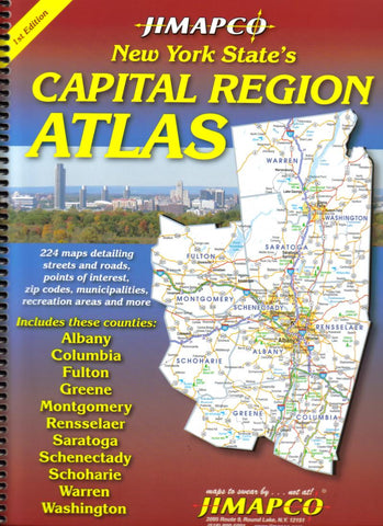
New York State, Capital Region, Atlas by Jimapco
The atlas includes 224 maps detailing streets and roads, points of interests, zip codes, municipalities, recreation areas and more. Includes these counties: Albany, Columbia, Fulton, Greene, Montgomery, Rensselaer, Saratoga, Schenectady, Schoharie, Warren, Washington.
- Product Number: 2160322
- Product Code: JIM_CAP_11_AT
- ISBN: 9781569141373
- Year of Publication: 2012
- Unfolded Size: 12.2 x 9.45 inches
- Map type: Atlas
- Geographical region: New York


