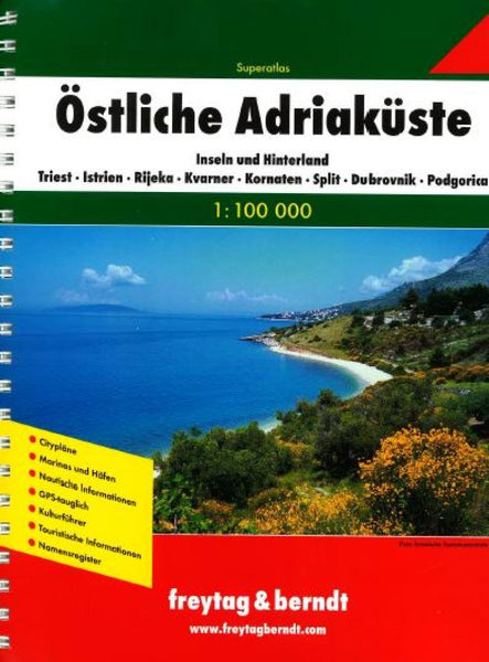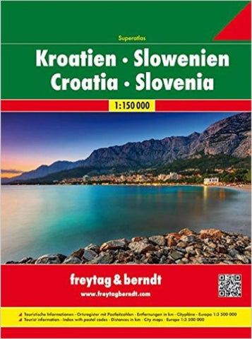
Croatia and Slovenia, Atlas by Freytag-Berndt und Artaria
Putting the pedal to the metal in Croatia and Slovenia has never been easier, with this Freytag & Berndt Superatlas. It will help you with your motoring needs and provides the information needed in order to navigate independently in these European states.
97 maps cover Croatia and 37 cover Slovenia, all in 1:150 000 scale. The topography of the land is shown with colour shading. As with all Freytag & Berndt products, this atlas makes use of a markings and icons system. Tourist information covered includes:
All road types, railway lines, ferry routes and foot paths
Natural reserves, places of particular interest and picturesque towns
Antique sites, places of worship, monuments and mines
Cabins, golf courses, camp sites, wild life parks, airports, marinas and other places of leisure
An index of each country is included, listing all localities. A range of city plans are also included, all at 1:15 000 scale (Dubrovnik, Karlovac, Osijek, Pula, Rijeka, Sibenik, Slavonski Brod, Split, Trogir, Umag, Zagreb, Varazdin, Zadar, Celje, Kranj, Koper, Murska Sobota, Ljubljana, and Maribor).
Map legend in Slovak, Slovenian, Italian, Spanish, Dutch, German, English, French and 4 other languages.
- Product Number: 2035446
- Product Code: FB_CRO_SVA_AT
- ISBN: 9783707904239
- Year of Publication: 2015
- Unfolded Size: 11.81 x 9.45 inches
- Map type: Atlas
- Geographical region: Europe