
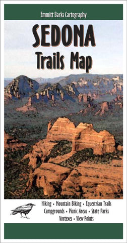
Sedona, Arizona, Trails Map by Emmitt Barks Cartography
◾The map shows 260 miles of hiking and biking trails and 255 square miles of Sedonas world-famous red rock country
◾Latitude and longitude marks are provided, enabling the map to be used in conjunction with hand-held GPS (global positioning system) devices
◾This map is exceptionally detailed and accurate; all of the trails on the map were hiked and/or biked by Emmitt Barks staff. Most trails have been hiked or biked multiple times
◾A trail table provides detailed information for 121 trails, including mileage, elevation range, difficulty ratings for hikers and bikers, and a short description
◾Shaded relief gives the map a 3D appearance and makes topography easy to read. Vertical profiles for 64 trails help users judge the difficulty of a trail before embarking on a hike or ride
◾Contour lines are depicted at an interval of 50 feet. Spot elevations are provided at most trail junctions to help users gauge changes in topography
◾Forest roads included on the map reflect the Coconino National Forest Travel Management Rule and the Motor Vehicle Use Map
◾Other map features include trailheads, campgrounds, picnic areas, views, vortexes, wilderness areas, and state parks
◾Printed in full color on two sides of a heavyweight, durable, water-proof and tear-resistant synthetic paper
- Product Number: 2034931M
- Product Code: EBC_SEDONA
- ISBN: 9780972483124
- Year of Publication: 2014
- Folded Size: 4 x 7.75 inches
- Unfolded Size: 24 x 37 inches
- Map type: Folded Map
- Geographical region: Arizona


