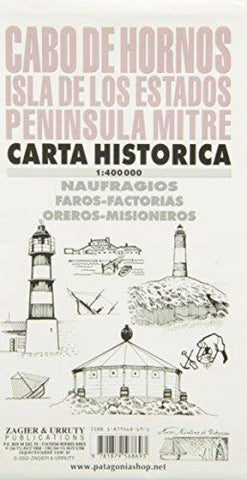
Cabo de Hornos : Isla de los Estados : peninsula mitre : carta historica
Historical and hydrographical chart of Cape Horn, Isla de los Estados, and Mitre Peninsula, Argentina. Features shipwrecks, lighthouses, gold diggers, missionaries, sealers, and other information. Printed on one side.
- Product Number: ZU_CABO_6
- Reference Product Number: 2030578M
- ISBN: 9781879568693
- Date of Publication: 6/1/2006
- Folded Size: 9.45 inches high by 5.51 inches wide
- Unfolded (flat) Size: 39.37 inches high by 26.77 inches wide
- Map format: Folded
- Map type: Trade Maps - Historical
- Geographical region: Argentina

