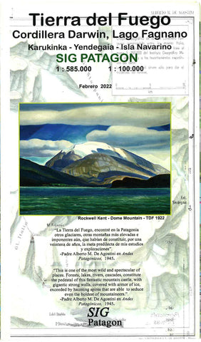
Tierra del Fuego : Cordillera Darwin, Lago Fagnano, Karukinka, Yendegaia, Isla Navarino
This double-sided Sin Patagon map of Tierra del Fuego is waterproof and tear-resistant, as well as GPS-compatible map and shown at 1:585,000 scale. On the reverse, Isla Navarino is shown at 1:85,000 scale. Topography is presented by relief shading, with boundaries of protected areas. The map shows local roads and tracks, and symbols indicate locations with tourist facilities, sites for trekking and watching local fauna, etc. Also marked are ferry connections. The map has a UTM grid, plus latitude and longitude margin ticks at 1º.
- Product Number: SIG_FUEGO_22
- Reference Product Number: - None -
- ISBN: 9789563980356
- Date of Publication: 6/1/2022
- Folded Size: 5.51 inches high by 9.84 inches wide
- Unfolded (flat) Size: 22.44 inches high by 28.35 inches wide
- Map format: Folded
- Map type: Trade Maps - Outdoor Recreation Maps
- Geographical region: Argentina,Chile

