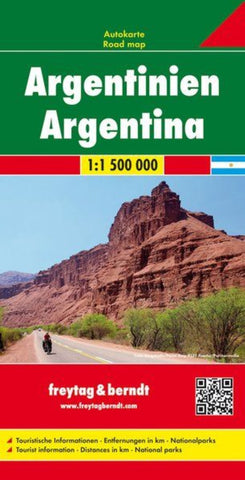
Argentina, road map 1:1.500,000
Argentina at 1:1,500,000 on a large, double-sided map from Freytag & Berndt presenting the country on three overlapping panels, with an index booklet attached to the map cover also providing street plans Buenos Aires, Córdoba and Rosario.
The map divides the country north/south. On one side is northern Argentina, extending south to include Mendoza and Aconcagua, San Luis, Rio Cuarto and Rosario, plus the northern half of Uruguay, coverage of much of Paraguay including Asuncion, and parts of north-eastern Chile. On the reverse the remainder of the country is presented on two panels; coverage on the main panel starts in San Luis, extending east and west to Montevideo and Santiago, and continues southwards along the Andes beyond El Chaltén. The remainder of Patagonia and Terra del Fuego are on the third panel; coverage here includes Torres del Paine National Park and the Chilean islands south of it.
Bold relief shading and colouring for the Andes, with plenty of names
- Product Number: FB_ARG_18
- Reference Product Number: - None -
- ISBN: 9783707914313
- Date of Publication: 1/11/2018
- Folded Size: 10.02 inches high by 5.11 inches wide
- Unfolded (flat) Size: 10.02 inches high by 5.11 inches wide
- Map format: Folded
- Map type: Trade Maps - Road
- Geographical region: Argentina

