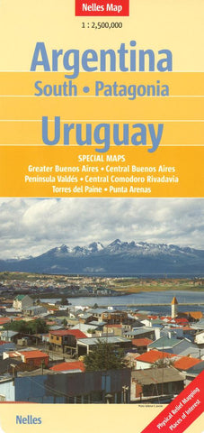
Southern Argentina, Patagonia, and Uruguay by Nelles Verlag GmbH
Physical map with shaded relief. Covering Southern Argentina, Uruguay and the Falkland Islands. Includes insets of Buenos Aires, Central Comodoro Rivadavia and Penisula Valdes. Features: Airports, beaches, points of interest. Roads include distance in kilometers from marker to marker. Scale 1:2,500,000.
- Product Number: 2171740M
- Product Code: NEL_ARG_S
- ISBN: 9783865740854
- Year of Publication: 2012
- Folded Size: 10.24 x 4.72 inches
- Unfolded Size: 19.69 x 31.1 inches
- Map type: Folded Map
- Geographical region: Argentina

