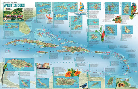
2003 A Travelers Map of the West Indies
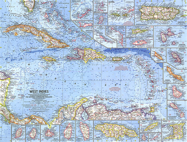
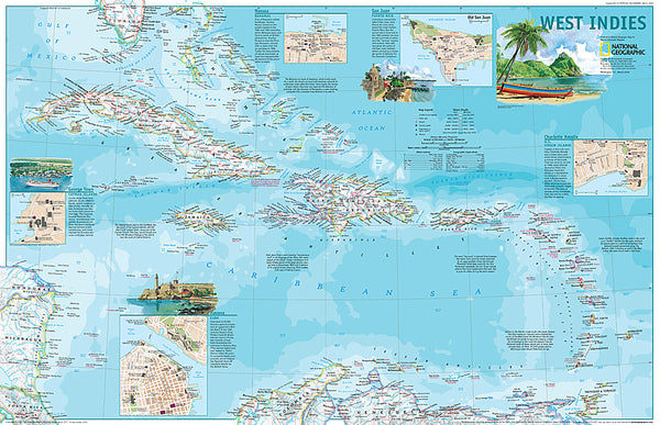
The West Indies have become a popular destination for travelers who seek a little more than relaxation and fun in the sun. Yet beyond the sand, surf, and picturesque islands comes a faint echo of a bold and brutal history of colonization from the Spanish, British, Dutch, and French. Explore this beautiful and intriguing region with A Travelers Map of the West Indies. Published in March 2003, this map was originally printed as half of a two-piece set with a political map of the West Indies.
- Product Number: PODHNG_W_IND_TR_03
- Reference Product Number: 2321587M
- ISBN: - None -
- Date of Publication: 6/1/2003
- Unfolded (flat) Size: 23.25 inches high by 36.25 inches wide
- Map format: Wall
- Map type: Trade Maps - Wall Art
- Geographical region: Anguilla,Antigua and Barbuda,Aruba,Bahamas,Barbados,Cayman Islands,Cuba,Curacao,Dominica,Dominican Republic,Grenada,Guadeloupe,Guyana,Haiti,Jamaica,Martinique,Montserrat,Puerto Rico,Saint Barthelemy,Saint Kitts and Nevis,Saint Lucia,Saint Martin,Saint Vincent and the Grenadines,Trinidad and Tobago,Turks and Caicos Islands,Virgin Islands, British,Virgin Islands, United States


