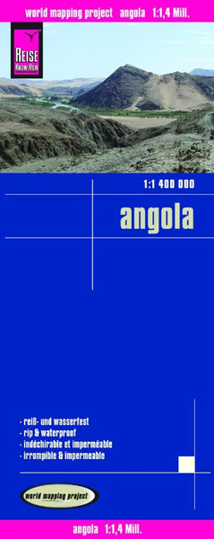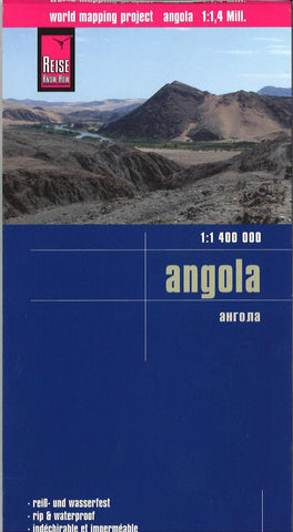
Angola : 1: 1,400,000 : 1:1,400,000
Indexed, waterproof and tear-resistant road map of Angola at 1:1,400,000 with topographic and tourist information, published by Reise Know-How as part of their highly acclaimed World Mapping Project. The map is double-sided to provide the best balance between a good scale and a convenient size sheet. Coverage includes Cabinda.
The country’s topography is presented by altitude colouring with contours, spot heights, mountain passes, and names of mountain ranges. The map also shows salt lakes, swamps and seasonal rivers. Internal administrative boundaries are shown with names of the provinces. Road network includes unsurfaced local roads and 4WD tracks, and shows driving distances on main routes plus locations of petrol stations. Border crossings to Namibia indicate their opening times. Railways, ferry connections and local airfields are also shown. National parks and protected zones are clearly marked and symbols highlight numerous places of interest, tourist accommodation, medic
- Product Number: RKH_ANG_16
- Reference Product Number: 2273883M
- ISBN: 9783831773145
- Date of Publication: 6/1/2016
- Folded Size: 10.24 inches high by 4.72 inches wide
- Unfolded (flat) Size: 39.37 inches high by 27.56 inches wide
- Map format: Folded
- Map type: Trade Maps - Road
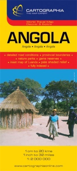
- Geographical region: Angola