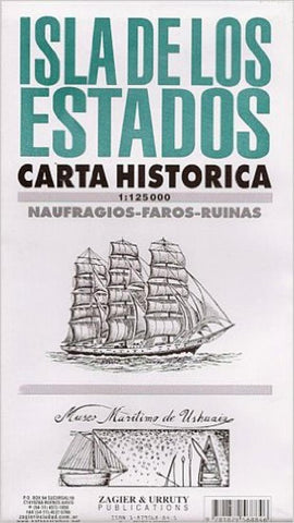
Isla de los Estados : carta historica
ISLA DE LOS ESTADOS: Historical and hydrographical chart. Features shipwrecks, lighthouses, archaeological sites, sealers, etc. Printed on one side.
- Product Number: ZU_ISLA_1
- Reference Product Number: 2030579M
- ISBN: 9781879568846
- Date of Publication: 6/1/2001
- Folded Size: 9.45 inches high by 5.12 inches wide
- Unfolded (flat) Size: 23.62 inches high by 30.31 inches wide
- Map format: Folded
- Map type: Trade Maps - Historical
- Geographical region: Argentina