
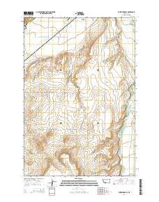
~ Three Forks SE MT topo map, 1:24000 scale, 7.5 X 7.5 Minute, Current, 2014
Three Forks SE, Montana, USGS topographic map dated 2014.
Includes geographic coordinates (latitude and longitude). This topographic map is suitable for hiking, camping, and exploring, or framing it as a wall map.
Printed on-demand using high resolution imagery, on heavy weight and acid free paper, or alternatively on a variety of synthetic materials.
Topos available on paper, Waterproof, Poly, or Tyvek. Usually shipping rolled, unless combined with other folded maps in one order.
- Product Number: USGS-7597995
- Free digital map download (high-resolution, GeoPDF): Three Forks SE, Montana (file size: 25 MB)
- Map Size: please refer to the dimensions of the GeoPDF map above
- Weight (paper map): ca. 55 grams
- Map Type: POD USGS Topographic Map
- Map Series: US Topo
- Map Verison: Current
- Cell ID: 45007
- Datum: North American Datum of 1983
- Map Projection: Transverse Mercator
- Map Cell Name: Three Forks SE
- Grid size: 7.5 X 7.5 Minute
- Date on map: 2014
- Map Scale: 1:24000
- Geographical region: Montana, United States
Neighboring Maps:
All neighboring USGS topo maps are available for sale online at a variety of scales.
Spatial coverage:
Topo map Three Forks SE, Montana, covers the geographical area associated the following places:
- Maltby Mound II Mine - 01N02E06DAA_01 Well - 01S02E08CDDC01 Well - 01N01E04BCDC01 Well - 01N02E30DCAC01 Well - Lane School (historical) - Buttleman Ranch - 01N02E20AC__01 Well - Cobblestone Fishing Access Site - Climbing Arrow Ranch - Table Mountain School (historical) - 01S01E02BBAB01 Well - 01N01E29AAAA01 Well - Garfield Post Office (historical) - 11S01E25ACBD01 Well - Fairview Cemetery - 01N02E06BCBA01 Well - 01N02E18DCCD01 Well - Darlington Brothers Ranch - 01N02E07AACA01 Well - 01S02E05AB__01 Well - Francis Walbert Ditch - Lower Jefferson Ditch - 01N02E19CDDD01 Well
- Map Area ID: AREA45.87545.75-111.625-111.5
- Northwest corner Lat/Long code: USGSNW45.875-111.625
- Northeast corner Lat/Long code: USGSNE45.875-111.5
- Southwest corner Lat/Long code: USGSSW45.75-111.625
- Southeast corner Lat/Long code: USGSSE45.75-111.5
- Northern map edge Latitude: 45.875
- Southern map edge Latitude: 45.75
- Western map edge Longitude: -111.625
- Eastern map edge Longitude: -111.5


