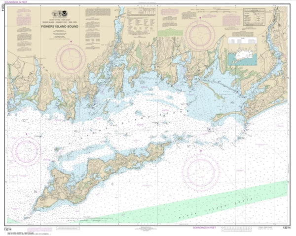
~ Providence RI topo map, 1:250000 scale, 1 X 2 Degree, Historical, 1947, updated 1971
Providence, Rhode Island, USGS topographic map dated 1947.
Includes geographic coordinates (latitude and longitude). This topographic map is suitable for hiking, camping, and exploring, or framing it as a wall map.
Printed on-demand using high resolution imagery, on heavy weight and acid free paper, or alternatively on a variety of synthetic materials.
Topos available on paper, Waterproof, Poly, or Tyvek. Usually shipping rolled, unless combined with other folded maps in one order.
- Product Number: USGS-5638361
- Free digital map download (high-resolution, GeoPDF): Providence, Rhode Island (file size: 20 MB)
- Map Size: please refer to the dimensions of the GeoPDF map above
- Weight (paper map): ca. 55 grams
- Map Type: POD USGS Topographic Map
- Map Series: HTMC
- Map Verison: Historical
- Cell ID: 68975
- Scan ID: 353539
- Imprint Year: 1971
- Woodland Tint: Yes
- Aerial Photo Year: 1943
- Edit Year: 1969
- Datum: Unstated
- Map Projection: Transverse Mercator
- Map published by United States Geological Survey
- Map Language: English
- Scanner Resolution: 600 dpi
- Map Cell Name: Providence
- Grid size: 1 X 2 Degree
- Date on map: 1947
- Map Scale: 1:250000
- Geographical region: Rhode Island, United States
Neighboring Maps:
All neighboring USGS topo maps are available for sale online at a variety of scales.
Spatial coverage:
Topo map Providence, Rhode Island, covers the geographical area associated the following places:
- Ike Shippee Corner - Sachuest - Fort Hill (historical) - Wareham Center - Plimoth Commons Mobile Home Park - The Green - Shore Acres - Misquamicut - Moscow - Sesachacha - Pomfret Center - Dodgeville - East Dennis - Foster Center - Greene - Elliotville (historical) - Hyannis Park - Old Quaker Meetinghouse - Stillmanville - Arnold Mills - Coskata - Five Corners - Nashaquitsa - Westport Point - Trots Hills - Stillwater - Attleborough City - Pinehurst Beach - Harrubs Corner - Fountain Spring - Indian Lands - Touisset Highlands - Fairbanks Corner - Wallum Lake (historical) - Briarwood Beach - Spring Green - East Orleans - Fort Standish - Lockwood Corner - Christian Town - Hope Valley - Segreganset - The Hummocks - Kent (historical) - Rocky Brook - Narrow Creek (historical) - Tuckertown Four Corners - Bethel - Sunken Meadow Beach - Bayview - Harwich Port - Narragansett Beach - Staples Shore - Craigville - Highland Beach - Cumberland Mills - Westcott - Tiverton - Valley Falls - Bay Spring - Arcadia - Great Neck - Quonochontaug Beach (historical) - Mohegan - Cedar Bushes - Mooresfield - Braleys - Moosup - Miles Bridge - Cranston - Simmonsville - Pleasant Lake - Homestead - Cordage - University Highlands - Frys Corner - Fisherville - Richmond (historical) - Meadow Brook - Monroes - Centerdale - Newtown - West Glocester - Shelter Harbor - Precinct - Scotland - Lime Rock - South Meadow Village - East Warren - Santuit - Belleville - Greenville - Shutleff Corner - Fishers Landing - Swifts Beach - Green Hill - Potowomut - Hoxsie - Jackson - Lonsdale
- Map Area ID: AREA4241-72-69.8833333
- Northwest corner Lat/Long code: USGSNW42-72
- Northeast corner Lat/Long code: USGSNE42-69.8833333
- Southwest corner Lat/Long code: USGSSW41-72
- Southeast corner Lat/Long code: USGSSE41-69.8833333
- Northern map edge Latitude: 42
- Southern map edge Latitude: 41
- Western map edge Longitude: -72
- Eastern map edge Longitude: -69.8833333

