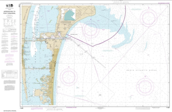
~ Tampa FL topo map, 1:250000 scale, 2 X 1 Degree, Historical, 1960, updated 1960
Tampa, Florida, USGS topographic map dated 1960.
Includes geographic coordinates (latitude and longitude). This topographic map is suitable for hiking, camping, and exploring, or framing it as a wall map.
Printed on-demand using high resolution imagery, on heavy weight and acid free paper, or alternatively on a variety of synthetic materials.
Topos available on paper, Waterproof, Poly, or Tyvek. Usually shipping rolled, unless combined with other folded maps in one order.
- Product Number: USGS-5621814
- Free digital map download (high-resolution, GeoPDF): Tampa, Florida (file size: 11 MB)
- Map Size: please refer to the dimensions of the GeoPDF map above
- Weight (paper map): ca. 55 grams
- Map Type: POD USGS Topographic Map
- Map Series: HTMC
- Map Verison: Historical
- Cell ID: 320751
- Scan ID: 348788
- Imprint Year: 1960
- Woodland Tint: Yes
- Field Check Year: 1956
- Datum: Unstated
- Map Projection: Transverse Mercator
- Map published by United States Geological Survey
- Map published by United States Army Corps of Engineers
- Map published by United States Army
- Map Language: English
- Scanner Resolution: 600 dpi
- Map Cell Name: Tampa
- Grid size: 2 X 1 Degree
- Date on map: 1960
- Map Scale: 1:250000
- Geographical region: Florida, United States
Neighboring Maps:
All neighboring USGS topo maps are available for sale online at a variety of scales.
Spatial coverage:
Topo map Tampa, Florida, covers the geographical area associated the following places:
- Robinson Farms - Wallace - Cairo - Manhattan - Port Charlotte - Bryan Oaks - Sheridan - Val Villa - Gaudys Paradise - Saint Charles Place - Raulerson Estates North - Roberts - Watermill at Providence Lakes - Murray Acres - Capitano Cove - Ruffin Acres - Memory Lane - Sanctuary Estates - Lakeside - Shawnee Hills - Colson Place - Venice - Morris Park Farms - Palermo - Hendry Estates - Palmetto Mobile Home Park - Lucky Strike - Al Dana Park - Barnhart - Oakellar - Flehartys - El Rancho Petite - Turner - Bayshore West - Scheurer - Keystone Homes - Laurel Villa - Crowder - Casa de Sol - Zambito - Piney Point - Plaza Terrace - McIntosh Lakes - McGraths Orangettes - Harbor View Palms - Shangri La Mobile Home Park - Wheeler Oaks - Allens - Morrill Meadows - D And E Acres - Wendel Wood - Rolling Acres - Uleta - Cornerstone Plaza - Moody Heights - Baskin - Doerr - Summerfield Wimauma Estates - Wallcraft - Audubon Park - Edgeville - West Shore Estates - Pirates Point - Simmons Ranch Estates - Alameda - Fairway One - Gray Gables - Leen - Westshore Estates South - Winchester Woods - The Villas at Bloomingdale - Park View - Bettis - Magnolia Court - Ilexhurst - Villages of Lake Saint Charles - Manatee Harbor - West Shore Manor - Oliver Acres - Sidney Highlands - Spencer Place - North Oaks Manor - Hyde Park - Fairlawn Estates - McWetherbee Junction - Parrish - Bel Wil - Coronet - Peacock Grove - Villages At Lithia - Bayport Village - Valrico - Albion - Crabcake - Rico Diaz - Massaro - Four Corners - Dana Shores - Tromble - Dillon Acres
- Map Area ID: AREA2826-83-82
- Northwest corner Lat/Long code: USGSNW28-83
- Northeast corner Lat/Long code: USGSNE28-82
- Southwest corner Lat/Long code: USGSSW26-83
- Southeast corner Lat/Long code: USGSSE26-82
- Northern map edge Latitude: 28
- Southern map edge Latitude: 26
- Western map edge Longitude: -83
- Eastern map edge Longitude: -82

