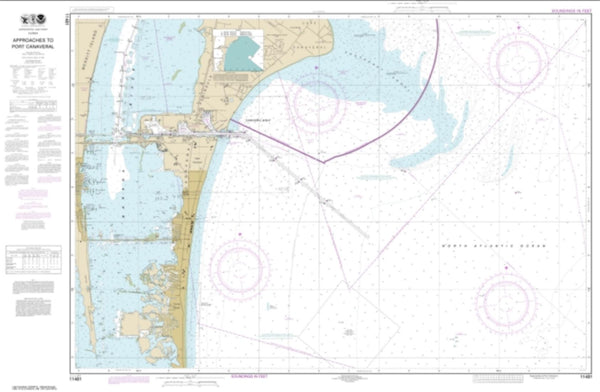
~ Tampa FL topo map, 1:250000 scale, 2 X 1 Degree, Historical, 1956, updated 1987
Tampa, Florida, USGS topographic map dated 1956.
Includes geographic coordinates (latitude and longitude). This topographic map is suitable for hiking, camping, and exploring, or framing it as a wall map.
Printed on-demand using high resolution imagery, on heavy weight and acid free paper, or alternatively on a variety of synthetic materials.
Topos available on paper, Waterproof, Poly, or Tyvek. Usually shipping rolled, unless combined with other folded maps in one order.
- Product Number: USGS-5621812
- Free digital map download (high-resolution, GeoPDF): Tampa, Florida (file size: 18 MB)
- Map Size: please refer to the dimensions of the GeoPDF map above
- Weight (paper map): ca. 55 grams
- Map Type: POD USGS Topographic Map
- Map Series: HTMC
- Map Verison: Historical
- Cell ID: 320751
- Scan ID: 348779
- Imprint Year: 1987
- Woodland Tint: Yes
- Aerial Photo Year: 1972
- Edit Year: 1972
- Field Check Year: 1956
- Datum: Unstated
- Map Projection: Transverse Mercator
- Map published by United States Geological Survey
- Map Language: English
- Scanner Resolution: 600 dpi
- Map Cell Name: Tampa
- Grid size: 2 X 1 Degree
- Date on map: 1956
- Map Scale: 1:250000
- Geographical region: Florida, United States
Neighboring Maps:
All neighboring USGS topo maps are available for sale online at a variety of scales.
Spatial coverage:
Topo map Tampa, Florida, covers the geographical area associated the following places:
- Paddock Oaks - Orangedale Park - Freedom Village - Port Charlotte Village Mobile Home Park - Berry Landing - Alafia Ranch - Bailey Place Mobile Home Park - Dell Vista - Jackson Block - Pine Dale Estates - Goldmine - East Brandon Heights - Summer Springs - College Chase - Bell Shoals Gardens - Hickory Hammock - Belvedere Acres - Valrico Village - MacKinlay Terrace - Fort Lonely - High View Terrace - Hammock Oaks Reserve - Climer Estates - Hodges Shady Grove - Whitesburg - Goolsby Pointe - Chelsea Woods - Leen - Twin Oaks - Taman Estates - Country Brook Estates - Denis Place - Maple Leaf Estates Mobile Home Park - Lonesome Hollow - Rosedale - Nistals - Jensen Place - Andalucia - Totstalahoeetska (historical) - Angel Run - Palm River Reserve - Nettlow - Oakbriar - Minneola - Rocky Shore - Bayshore Crest - Candy Cane Acres - Spring Heights - Les Jardins de Floride - Kim Acres - South Pointe - Bullfrog Acres - Shady Hollow - Oak Landing - Harbor View Mobile Home Park - Avondale - Mango Hills - Bullfrog Creek Landing - Harding - Pratt Acres - Sanctuary Estates - Gardenville - West Texas Acres - Mendenhall Terrace - Kingswood Heights - Massaro - Waterford - North Hill - Breezy Meadows - Popago Estates - Golf View Place - Strathmore - Duncan Groves - Boca Ciega - Robichaud - Zambito - Salem Oaks - Osborne Oaks - Roslyn Homes - Michigan Broadway - Near Bay - Hendry Manor - West Shore Place - Durant - Moss Creek - Shagos Bay - Turner - Hesperides - Parrish Home - Stanford Estates - Larrie Ellen Park - Surfside Estates by the Bay - North Green Estates - Bay Pines - North Oaks Manor - Lake Fantasia - Phillips Estates - Bryant Terrace - Buckhorn - C T Lewis Acres
- Map Area ID: AREA2826-83-82
- Northwest corner Lat/Long code: USGSNW28-83
- Northeast corner Lat/Long code: USGSNE28-82
- Southwest corner Lat/Long code: USGSSW26-83
- Southeast corner Lat/Long code: USGSSE26-82
- Northern map edge Latitude: 28
- Southern map edge Latitude: 26
- Western map edge Longitude: -83
- Eastern map edge Longitude: -82

