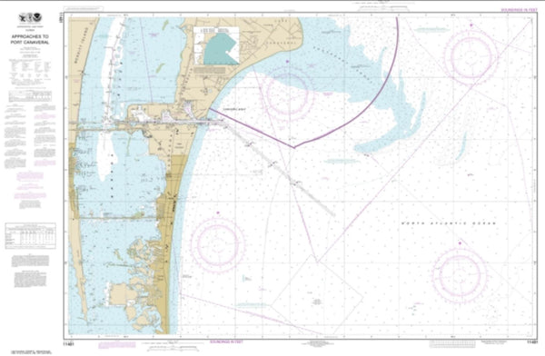
~ Sulphur Springs FL topo map, 1:25000 scale, 7.5 X 7.5 Minute, Historical, 1949, updated 1949
Sulphur Springs, Florida, USGS topographic map dated 1949.
Includes geographic coordinates (latitude and longitude). This topographic map is suitable for hiking, camping, and exploring, or framing it as a wall map.
Printed on-demand using high resolution imagery, on heavy weight and acid free paper, or alternatively on a variety of synthetic materials.
Topos available on paper, Waterproof, Poly, or Tyvek. Usually shipping rolled, unless combined with other folded maps in one order.
- Product Number: USGS-5620672
- Free digital map download (high-resolution, GeoPDF): Sulphur Springs, Florida (file size: 14 MB)
- Map Size: please refer to the dimensions of the GeoPDF map above
- Weight (paper map): ca. 55 grams
- Map Type: POD USGS Topographic Map
- Map Series: HTMC
- Map Verison: Historical
- Cell ID: 43701
- Scan ID: 348730
- Imprint Year: 1949
- Woodland Tint: Yes
- Aerial Photo Year: 1942
- Datum: NAD27
- Map Projection: Transverse Mercator
- Map published by United States Army Corps of Engineers
- Map published by United States Army
- Map Language: English
- Scanner Resolution: 600 dpi
- Map Cell Name: Sulphur Springs
- Grid size: 7.5 X 7.5 Minute
- Date on map: 1949
- Map Scale: 1:25000
- Geographical region: Florida, United States
Neighboring Maps:
All neighboring USGS topo maps are available for sale online at a variety of scales.
Spatial coverage:
Topo map Sulphur Springs, Florida, covers the geographical area associated the following places:
- Sutton Place - Takomah Trail - Lake Gass Estates - The Arbors - Plumnelly - North Side Homes - Almima - Lake Platt West - Fletchers Mill - Wyndgate - Pauls Manor - Venetian Park - Tuxedo Park - Temple Bluff - West Lake Burrell Estates - Vander Creek - Riverbend Manor - Sulphur Springs - Riverhills Park - Ridgway - Lake Carroll View - White Trout Manor - Betty Jean Heights - Sunrise Villas of Tampa - Evelyn City - Lake Carroll Estates - Independence Square - Apex Lake Estates - Pendleton Heights - Tall Pines - Casa Loma - Riverbend - Idle Grove Park - Pleasant Estates - Oaks at Riverview - Sico - Wil Jo - East End Place - Trevi at Bay Lake - Wilma Farms - Norma Lee Heights - Lipsey - Bens - Cathcarts Square - Carroll City Center - Terrace Overlook - Oak Trail - Auburn Highlands - Delmar Terrace - Herchel Heights - Hillsboro Highlands - Lake Egypt Estates - Lorene Terrace - The Inn at Lakeshore Villas - Theresa Arbor - Seminole Crest - Manor Heights West - Newport Gardens - Norris - Twenty Second Street Heights - Hillsborough River Estates - Chapman Manors - Tampa Palms - Little Eleven - Green Meadow - University Square - Eva Egla Terrace - Weatherby - Live Oak - South Florida Terraces - Almans Acres - Morris Oak Ridge - Pinehurst Park - Indian Village - Lynnette Estates - Magdalene North - North Park - Belt Court - Duque Road - Maplehill - Claonia Highlands - Lake View Heights - Oakwood - Sunray Hills - Lake Ellen Estates - Crichlow Heights - Lake Magdalene Arms - Temple Terrace Hills - Watrous Gardens - Florida Avenue Heights - Free Land Heights - Elizabeth Court - Mora - Bella Vista - Burnes Lake Estates - Robles Heights - Leighton Place - Mendoza - Lucy Dell - Lurline Terrace
- Map Area ID: AREA28.12528-82.5-82.375
- Northwest corner Lat/Long code: USGSNW28.125-82.5
- Northeast corner Lat/Long code: USGSNE28.125-82.375
- Southwest corner Lat/Long code: USGSSW28-82.5
- Southeast corner Lat/Long code: USGSSE28-82.375
- Northern map edge Latitude: 28.125
- Southern map edge Latitude: 28
- Western map edge Longitude: -82.5
- Eastern map edge Longitude: -82.375

