
~ Twin City SE GA topo map, 1:24000 scale, 7.5 X 7.5 Minute, Historical, 2011
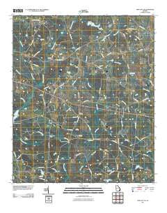
Twin City SE, Georgia, USGS topographic map dated 2011.
Includes geographic coordinates (latitude and longitude). This topographic map is suitable for hiking, camping, and exploring, or framing it as a wall map.
Printed on-demand using high resolution imagery, on heavy weight and acid free paper, or alternatively on a variety of synthetic materials.
Topos available on paper, Waterproof, Poly, or Tyvek. Usually shipping rolled, unless combined with other folded maps in one order.
- Product Number: USGS-5249587
- Free digital map download (high-resolution, GeoPDF): Twin City SE, Georgia (file size: 17 MB)
- Map Size: please refer to the dimensions of the GeoPDF map above
- Weight (paper map): ca. 55 grams
- Map Type: POD USGS Topographic Map
- Map Series: US Topo
- Map Verison: Historical
- Cell ID: 46104
- Datum: North American Datum of 1983
- Map Projection: Transverse Mercator
- Map Cell Name: Twin City SE
- Grid size: 7.5 X 7.5 Minute
- Date on map: 2011
- Map Scale: 1:24000
- Geographical region: Georgia, United States
Neighboring Maps:
All neighboring USGS topo maps are available for sale online at a variety of scales.
Spatial coverage:
Topo map Twin City SE, Georgia, covers the geographical area associated the following places:
- El Bethel Church - Mercer Grove Church - Donaldson Lake Dam - Bowen Lake Dam - Bethel Cemetery - Saint Pauls Church - Emmit Brown Bridge - Lotts Lake - Cypress Creek - Friendship Church - Friendship Cemetery - Rosemary School (historical) - Bowen Lake - Bethel Church - Donaldson Lake - Lotts Lake Dam - George L Smith II State Park - Sams Creek - Watson Pond - Parris Grove Church - Nathan Creek - Donaldson North Dam - Hendley Pond Dam - El Bethel Cemetery - Banks Bridge - New Beulah Church - Williams Cemetery - Piney Grove Church - Simon Creek - Paddy Ford Bridge - Watson Pond Dam - Hendley Pond - Wolf Branch
- Map Area ID: AREA32.62532.5-82.125-82
- Northwest corner Lat/Long code: USGSNW32.625-82.125
- Northeast corner Lat/Long code: USGSNE32.625-82
- Southwest corner Lat/Long code: USGSSW32.5-82.125
- Southeast corner Lat/Long code: USGSSE32.5-82
- Northern map edge Latitude: 32.625
- Southern map edge Latitude: 32.5
- Western map edge Longitude: -82.125
- Eastern map edge Longitude: -82


