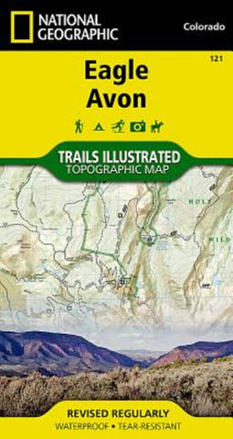
Eagle/Avon, CO Trails Illustrated Map
National Geographics Trails Illustrated map of Eagle and Avon is the ultimate tool for exploring this region in the heart of the Colorado Rockies. Designed for experienced and novice outdoor enthusiasts alike, this expertly researched map was created in partnership with the U.S. Forest Service, Bureau of Land Management and others and delivers unparalleled detail of the area. Coverage includes Holy Cross Wilderness, White River National Forest, Beaver Creek Ski Area, Bocco and Hardscrabble Mountains, Eagle River, Gypsum Ponds State Wildlife Area and Sylvan Lake State Park.
Explore the area by following along clearly mapped trails, marked for hiking or motorized use. Road and mountain bike trails are clearly labeled, as are winter trails. Some other recreation features are alpine and cross-country ski areas, campgrounds, 10th Mountain Division trails and huts, fishing holes, boat launch points and wildlife viewing areas. To aid in your navigation, the map includes contour lines,
- Product Number: TI_EAGLE_AVON_19
- Reference Product Number: - None -
- ISBN: 9781566953948
- Date of Publication: 6/1/2019
- Folded Size: 7.5 inches high by 4 inches wide
- Unfolded (flat) Size: 22 inches high by 32 inches wide
- Map format: Folded
- Map type: Trade Maps - Park
- Geographical region: United States
- Geographical subregion: Colorado

