
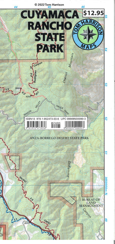
Cuyamaca Rancho State Park, California
Shaded relief topo map of Cuyama Rancho State Park. Covers Cuyamaca Peak-Green Valley, Stonewall Peak- Lake Cuyamaca, Sweetwater River-Paso Picacho. Scale:1:31,680 (2 inches = 1 mile). Printed on waterproof and tear resistant material
- Product Number: TH_CUYAMACA_22
- Reference Product Number: - None -
- ISBN: 9781952473036
- Date of Publication: 6/1/2022
- Folded Size: 8.66 inches high by 3.94 inches wide
- Unfolded (flat) Size: 15.75 inches high by 25.98 inches wide
- Map format: Folded
- Map type: Trade Maps - Hiking
- Geographical region: United States
- Geographical subregion: California


