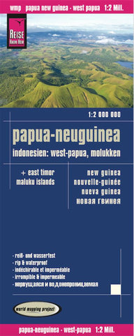
Papua-Neuguinea : Indonesien: west-Papua, Molukken = New Guinea = Nouvelle-Guinée = nNeva Guinea
The eastern islands of Indonesia, East Timor, the Indonesian Papua provinces, plus Papua New Guinea at 1:2,000,000 on an indexed map from Reise Know-How with topographic and tourist information, printed on light, waterproof and tear-resistant synthetic paper. The map, part of the publishers’ World Mapping Project, is double-sided to provide the best balance between a good scale and a convenient size sheet, with Indonesia and East Timor on one side and Papua New Guinea on the reverse. Coverage in the west starts with the northernmost tip of Sulawesi, the Wakatobi National Park and East Timor, and extends eastwards across the Maluku Islands, the Banda Sea and the whole of the New Guinea island, to include the islands forming the eastern provinces of Papua New Guinea.
Topography is presented by altitude colouring and spot heights with names of mountain ranges, peaks, etc. Swamp areas and in the coastal waters coral reefs are marked. National parks and other protected areas includi
- Product Number: RKH_PNG_15
- Reference Product Number: 2162277M
- ISBN: 9783831772643
- Date of Publication: 6/1/2015
- Folded Size: 10.24 inches high by 4.72 inches wide
- Unfolded (flat) Size: 39.37 inches high by 27.56 inches wide
- Map format: Folded
- Map type: Trade Maps - Road
- Geographical region: Indonesia,Papua New Guinea,Timor-Leste

