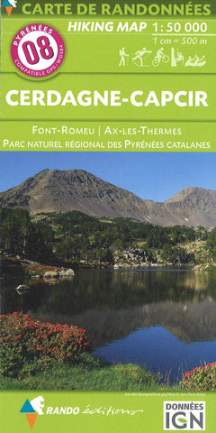
Pyrenees Hiking Map Sheet 8 - Cerdagne-Capcir
This excellent map is designed for the hiker, skier, and equestrienne. The maps utilize French and Spanish IGN 1:50,000 topographic maps as base maps, then add hiking, skiing, cycling and equestrian trails onto the maps. Sheets 1-11 cover the French side of the Pyrénées and sheets 20-25 cover the Spanish side of the Pyrénées. In French.
- Product Number: RD_CERD_CAP_16
- Reference Product Number: 2301319M
- ISBN: 9782344013373
- Date of Publication: 6/1/2016
- Folded Size: 8.5 inches high by 4 inches wide
- Unfolded (flat) Size: 35 inches high by 47 inches wide
- Map format: Folded
- Map type: Trade Maps - Hiking
- Geographical region: Andorra,France,Spain