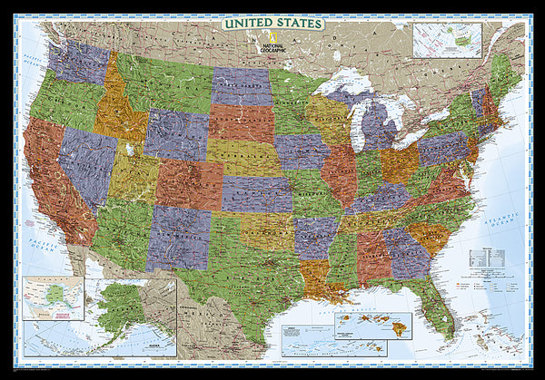
1959 State of Alaska Map
This map showcases Alaska, the largest state in the United States and also larger in area than all but 18 of the world's nations. Published in July 1959, just six months after Alaska became the 49th state.
- Product Number: PODHNG_US_AK_59
- Reference Product Number: 2321681M
- ISBN: - None -
- Date of Publication: 6/1/1959
- Unfolded (flat) Size: 18.75 inches high by 25 inches wide
- Map format: Wall
- Map type: Trade Maps - Political
- Geographical region: United States
- Geographical subregion: Alaska

