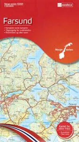
Farsund Topographic Map
This map covers an area of 45x62 kilometers with a 2-km overlap between this sheet and the next. The coordinate system is EUREF89 (WGS 84) which would makes it easy to use with a GPS receiver. The map is printed on water-resistant and tear-resistant synthetic paper.
- Product Number: NRD_FAR_16
- Reference Product Number: 2311676M
- ISBN: 7071940100016
- Date of Publication: 6/1/2016
- Folded Size: 8.27 inches high by 5.51 inches wide
- Unfolded (flat) Size: 27.17 inches high by 39.76 inches wide
- Map format: Folded
- Map type: Trade Maps - Physical
- Geographical region: Norway

