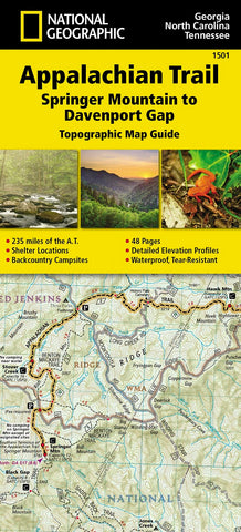
Appalachian Trail : Springer Mountain to Davenport Gap : topographic map guide
• Waterproof • Tear-Resistant • Topographic Map
The Springer Mountain to Davenport Gap Topographic Map Guide makes a perfect traveling companion when traversing the Georgia, southeastern Tennessee and southwestern North Carolina, section of the Appalachian Trail (A.T.). The southern most section of the A.T. which starts at Georgias Springer Mountain and heads north into North Carolina and Tennessee, offers some of most physically challenging, but rewarding hiking along the entire trail. The A.T. through this area is located entirely within National Park and National Forest land, and follows the ridges and balds of the beautiful and biologically diverse Southern Appalachians.
Each A.T. Topographic Map Guide includes detailed topographic maps at a detail of 1 inch = 1 mile. Each page is centered on the A.T. and overlaps with the adjacent pages so there is little chance of getting lost. Along the bottom of each page is a trail profile that shows the distance between shelter
- Product Number: NG_AT_1501_22
- Reference Product Number: - None -
- ISBN: 9781597756389
- Date of Publication: 6/1/2022
- Unfolded (flat) Size: 4.33 inches high by 9.45 inches wide
- Map format: - None -
- Map type: Books/Monographs - Hiking Guides
- Geographical region: United States
- Geographical subregion: Georgia,North Carolina,Tennessee


