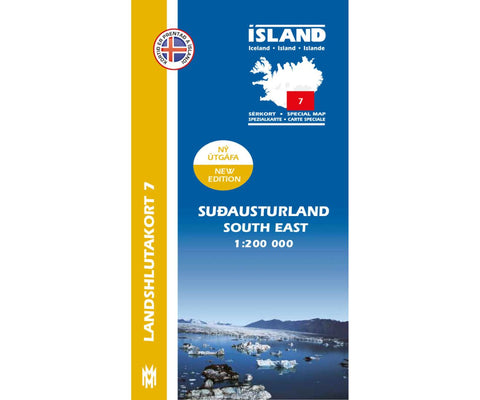
South East Iceland, Regional Map 7 - 1:200,000
This map includes the latest information about Iceland’s road system. The landscape can be seen very well on these cards, including glaciers, sandy areas, closed vegetations, and rivers. On the back of the cards are explanations and illustrations of the most beautiful natural sites in the region and drawings of common birds and plants.
Attractions:
Eldgja, Fjadrargljufur, Hjörleifshöfdi, Lakagigar, Nupsstadarskogar, Dverghamrar, Skftafell, Hof, Skeidararsandur, ÖRaefajökull, Öraefi, Jökulsarlon, Esjufjöll, Hornafjördur, Sudurveit
Legend includes:
farm, abandoned farm, ruin, main road asphalted road asphalted, main road gravel, road gravel, slopes, tunnels, ferry, church, school, summer house, emergency hut, hut, hut, water power plant, geothermal power, contour 100m contour lines on glaciers , camping, swimming pool, golf course, airport, lighthouse, Power Line, heights in meters, ford, places, closed vegetation, sparse vegetation, lava, sand surface, river, stream, la
- Product Number: MOM_ICE_REG_7_13
- Reference Product Number: 2315514M
- ISBN: 9789979333821
- Date of Publication: 6/1/2013
- Folded Size: 9.45 inches high by 5.51 inches wide
- Unfolded (flat) Size: 39.37 inches high by 27.56 inches wide
- Map format: Folded
- Map type: Trade Maps - Road
- Geographical region: Iceland