
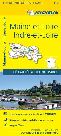
Indre-et-Loire, Maine-et-Loire
From Michelins yellow Departements France series comes this map of the Indre-et-Loire and Maine-et-Loire departments in France. At 1:150,000, it shows excellent detail of this area. The map has the usual brilliant road detail, characteristic of Michelin maps, with everything from motorways down to rough tracks and footpaths marked out clearly. The number of lanes is indicated on most roads, with intermediate road distances, European route numbers and tolled roads also shown.
The map includes highly detailed relief shading thats derived from satellite photos, with plenty of spot heights also. Viewpoints, scenic routes, religious and historic buildings, caves, palaces and villas, parks and loads of other places of touristic interest are marked out with symbols. The legend is in French and English.
The map also has an inset with some proposed itineraries throughout the department and a number of small town maps covering Angers and Tours with road names and buildings marked
- Product Number: M_317_22
- Reference Product Number: - None -
- ISBN: 9782067202191
- Date of Publication: 6/1/2022
- Folded Size: 9.84 inches high by 4.72 inches wide
- Unfolded (flat) Size: 56.3 inches high by 39.37 inches wide
- Map format: Folded
- Map type: Trade Maps - Road
- Geographical region: France


