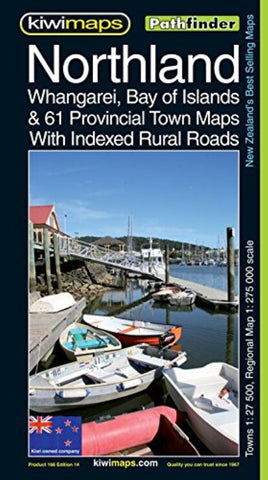
Northland & Wangarei Provicial Town Maps
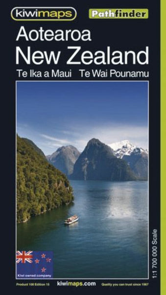
Northland region at 1:275,000 in a series of maps covering various districts of New Zealand, with each title combining a detailed road map with street plans of local towns, all with road and street indexes. The maps are published in two formats: handy Pocket Maps or Pathfinders with, as the publishers put, it “Larger print so you don’t squint”.
The map of Northlands covers the northern part of North Island, extending south to Auckland. An enlargement shows the Bay of Islands towns in greater detail at 1:35,000. On the reverse are panels with street plans of 61 local towns. Separate indexes are provided for the main map, the Bay of Islands enlargement and for each of the towns shown on the street plans.
Maps in the series, typically around 1:175,000 - 1:275,000, show local roads and 4WD tracks. Main sightseeing routes across the country, such as the Pacific Road Highway or Thermal Explorer Highway, are identified by small icons. Railways, local airports and where appropriate,
- Product Number: KIWI_NL_WHA_21
- Reference Product Number: - None -
- ISBN: 9415871000911
- Date of Publication: 9/1/2021
- Folded Size: 9.84 inches high by 5.51 inches wide
- Unfolded (flat) Size: 39.37 inches high by 27.56 inches wide
- Map format: Folded
- Map type: Trade Maps - Road
- Geographical region: New Zealand

