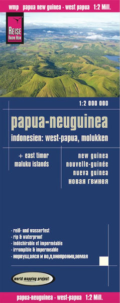
New Guinea Travel Map
This totally new edition now includes the western part of the island - the Indonesian province of West Irian - thus offering complete coverage of New Guinea island, much like ITMBs other island maps for Borneo and Dominican Republic/Haiti. This map also includes some of the islands west of New Guinea, including the newly independent country of East Timor (not a lot of detail, but very handy to have it on this map). The legend includes: roads by classification, airfields, points of interests, wildlife reserves, lakes, museums, ferries, churches, beaches, waterfalls, ruins, volcanoes and more.
- Product Number: ITM_NEW_GUINEA_16
- Reference Product Number: - None -
- ISBN: 9781553413424
- Date of Publication: 6/1/2016
- Folded Size: 9.5 inches high by 4 inches wide
- Unfolded (flat) Size: 26.5 inches high by 38 inches wide
- Map format: Folded
- Map type: Trade Maps - Travel
- Geographical region: Papua New Guinea

