Wexford, Ireland Discovery Series #69
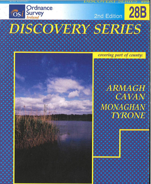
This Ordnance Survey map of Wexford shows road and topographic details for the area. This map is printed in color on one side with an index on the reverse.
- Product Number: IRE50_69_WEX_99
- Reference Product Number: 2293212M
- ISBN: 9781901496468
- Date of Publication: 6/1/1999
- Folded Size: 7.09 inches high by 4.33 inches wide
- Unfolded (flat) Size: 38.19 inches high by 27.17 inches wide
- Map format: Folded
- Map type: Topographic - General Topographic
- Geographical region: Ireland

