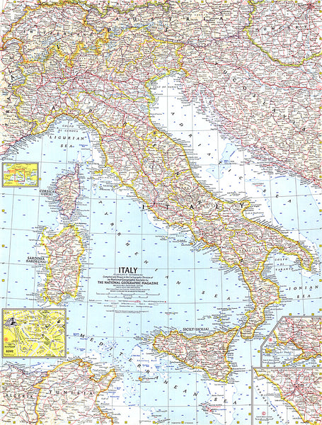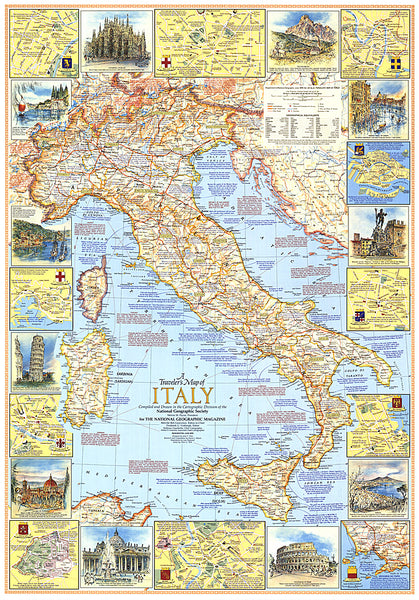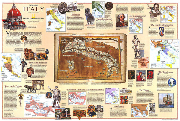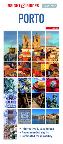
Porto : Insight Guides Flexi Map
Travel made easy. Ask local experts.
Designed for easy usage and durability, this map is all you need to explore Porto.
This easy to use, full-colour, waterproof map is all you need to navigate Porto. It also includes dotted highlight sights such as the Sé and Serralves, as well as essential information on getting around.
Features of this map to Porto:
- Detailed cartography: produced to the highest cartographic standards, highlighting all the main tourist sights, places to visit and transport networks
- Informative text: useful travel information, essential facts about the destination, recommendations for the best places to see and tips for getting around
- Easy to use: lightweight and wipe-clean in a handy pocket-size format. Sights linked to the mapping by numbered markers
- Laminated finish: durable, weatherproof and easier to fold than conventional paper maps
- Main map covering Porto city centre
- Secondary map to cover excursions
- Product Number: INF_F_PORTO_20
- Reference Product Number: - None -
- ISBN: 9781789199697
- Date of Publication: 8/1/2020
- Folded Size: 8.66 inches high by 4.21 inches wide
- Unfolded (flat) Size: 26.77 inches high by 17.32 inches wide
- Map format: Folded
- Map type: Trade Maps - City Maps
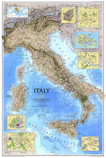
- Geographical region: Italy

