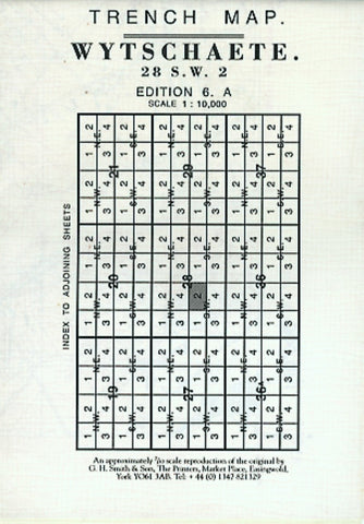
WWI: Wytschaete (Belgium) Trench Map - After the Battle of Messines Ridge
Wytschaete (28 SW 2 - ed. 6A) in a series of British Army trench maps from the WWI, reproduced by G.H. Smith & Son at approximately 7/10th of the original scales quoted against each title. The map shows the front lines after the Battle of the Messines (Messen) Ridge with trenches corrected to 18.7.1917. Maps in this series show both the British and the enemy trenches. Several titles also indicate supply and ammunition dumps, machine gun and trench mortar emplacements, observation posts, etc. Most titles are annotated with a specific date when they were prepared and include on the reverse a glossary of terms used on the map. Some also include additional information on the regiments and/or individual solders connected with that particular part of the front.
- Product Number: GHS_WYTSCHAETE_6A_17
- Reference Product Number: - None -
- ISBN: X95762
- Date of Publication: 7/18/1917
- Folded Size: 5.9 inches high by 4.33 inches wide
- Unfolded (flat) Size: 24.4 inches high by 23.62 inches wide
- Map format: Folded
- Map type: Thematic - Historical
- Geographical region: Belgium