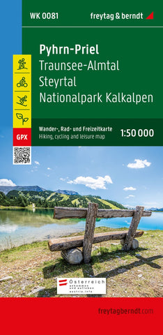
Pyhrn-Priel, hiking, bike and leisure map 1:50,000 WK 0081
The Pyhrn-Priel hiking, bike and leisure map on a scale of 1: 50,000 should always be in the luggage when excursions, hikes and bike tours are on the program in one of the most famous holiday regions of Upper Austria! The Kalkalpen National Park in particular captivates its visitors with closed forest areas and the impressive biodiversity. The hiking map also presents the Steyr Valley, which can be explored comfortably along the Steyrtal cycle path, and the Traunsee-Almtal tourism region, which is further western, which is also known as an eastern “entry gate” in the Salzkammergut. Information about the hiking map Pyhrn-Priel Hiking and long-distance hiking trails via ferrata scale 1: 50,000 waterproof and tear-resistant bike paths and mountain bike routes attractive excursion destinations 70 x 82 cm, double-sided GPX tracks for download with infoguides The numerous regional hiking trails are used by several comprehensive and pilgrimage paths, below the Nord Alpenweg, the Mariazellerwe
- Product Number: FB_WK_50_81_21
- Reference Product Number: - None -
- ISBN: 9783707919387
- Date of Publication: 1/14/2022
- Folded Size: 8.06 inches high by 3.93 inches wide
- Unfolded (flat) Size: 8.06 inches high by 3.93 inches wide
- Map format: Folded
- Map type: Trade Maps - Hiking
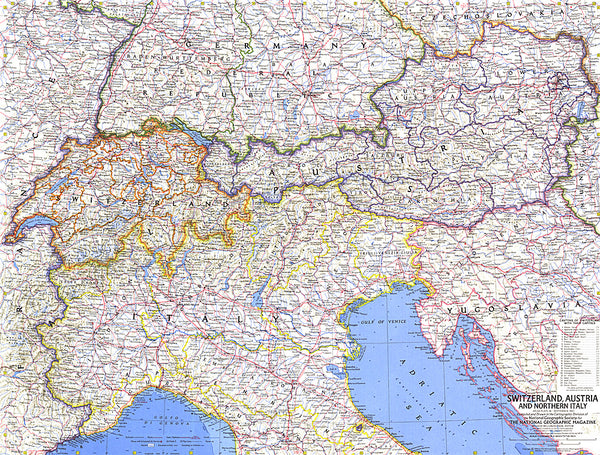
- Geographical region: Austria

