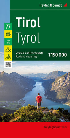
Tyrol, road and leisure map 1:150,000
Tyrol Province Top 10 Tips on an indexed road map at 1:150,000 from Freytag & Berndt, with highlighting for cycle routes, scenic roads and tourist routes, places of interest, etc, plus descriptions of sights and routes and 11 street plans.
An index booklet attached to the map cover provides brief multilingual descriptions of the region’s 10 main sights, plus of descriptions of 8 cycling trails including the Mozart Route, Via Claudia Augusta, etc. City centre street plans cover 11 towns: Innsbruck, Hall in Tirol, Imst, Jenbach, Kitzbühel, Kufstein, Landeck, Reutte, Schwaz, Telfs and Wörgl. Map legend and all the text include English.
Maps in F&B’s “Top 10 Tops” series have relief portrayed by hill-shading without distracting from other detail, and plenty of names of topographic features: mountain chains, valley, peaks, etc. National Parks and other protected areas are prominently highlighted. Road network includes minor local roads and selected cart tracks, shows d
- Product Number: FB_TIROL_TT_22
- Reference Product Number: - None -
- ISBN: 9783707921120
- Date of Publication: 12/1/2022
- Folded Size: 10.02 inches high by 5.11 inches wide
- Unfolded (flat) Size: 10.02 inches high by 5.11 inches wide
- Map format: Folded
- Map type: Trade Maps - Road
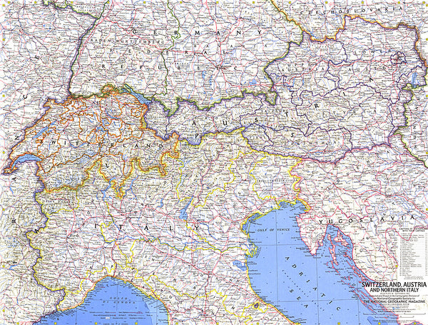
- Geographical region: Austria