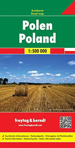
Poland 1:500,000 Road Map
Poland at 1:500,000 on a large, double-sided indexed road map from Freytag & Berndt, with the better scale allowing for much clearer presentation of road and rail networks and larger size fonts for place names.
Relief shading with spot heights and colouring for forested areas shows the terrain, with plenty of names of geographical features such as lake districts, large forests, hill and mountain ranges, etc. National parks are marked. Road network includes small local roads, many with intermediate driving distances. Gradient markings are shown on steep roads, scenic routes are marked and border crossings indicated. The map also shows railway lines and the internal administrative boundaries with names of the voivodeships. Symbols highlight various places of interest, including campsites.
The map has latitude and longitude lines at intervals of 30’. Multilingual map legend, conveniently placed on both sides on the map, includes English. The index is in a separate book
- Product Number: FB_POL_17
- Reference Product Number: - None -
- ISBN: 9783707901801
- Date of Publication: 6/1/2017
- Folded Size: 10.24 inches high by 5.12 inches wide
- Unfolded (flat) Size: 39.37 inches high by 50 inches wide
- Map format: Folded
- Map type: Trade Maps - Travel
- Geographical region: Poland

