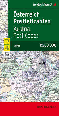
Österreich Postleitzahlen, 1:500.000 = Austria postcodes, 1:500,000
The Freytag & Berndt Austria Postcode map 1: 500,000 is folded and protected with a soft box handling. Format approx. 121.5 x 84 cm, folded, 9 state capitals and control system; Freytag & Berndt Postal map maps are also available in the following explanations: poster (plano in roll), poster metal -ordered (plano in roll), marking board and magnetic marker panel.
- Product Number: FB_A_POST_18
- Reference Product Number: - None -
- ISBN: 9783707913552
- Date of Publication: 11/1/2018
- Folded Size: 10.02 inches high by 5.11 inches wide
- Unfolded (flat) Size: 10.02 inches high by 5.11 inches wide
- Map format: Folded
- Map type: Trade Maps - Political
- Geographical region: Austria

