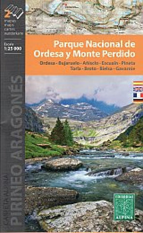
Parque Nacional de Ordesa y Monte Perdido
Map Language: Spanish, French, English, German
•Two hiking maps
•Scale 1:25.000
•Equidistance contours: 10 m distance
•Master contours: at 50 m
•Shady relief
•Compatible with GPS
•Marked routes
•Land use symbolized at three levels
- Product Number: EAL_PNR_OMP_21
- Reference Product Number: - None -
- ISBN: 9788480908146
- Date of Publication: 6/1/2021
- Folded Size: 7.48 inches high by 4.72 inches wide
- Unfolded (flat) Size: 36.22 inches high by 23.62 inches wide
- Map format: Folded
- Map type: Trade Maps - Hiking
- Geographical region: Spain