
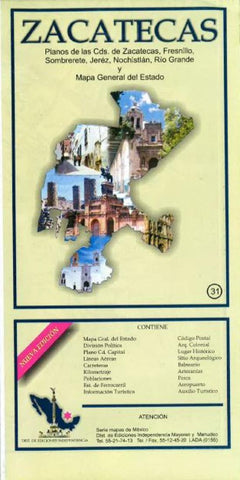
Zacatecas, Mexico, State and Major Cities Map by Ediciones Independencia
Folded color map in Spanish with postal code information and a brief history. Includes state map (scale 1:720,000), Zacatecas (1:12,260), Fresnillo (1:14,800), Sombrerete (1:13,500), Jerez (1:15,020), Nochistlan (1:13,680), and Rio Grande (1:26,600).
- Product Number: 2224278M
- Product Code: EI_Zacatecas
- ISBN: 9789709811308
- Year of Publication: 2009
- Folded Size: 9.65 inches
- Unfolded Size: 25.98 x 36.22 inches
- Map type: Folded Map
- Geographical region: Mexico


