
Charleston, Kanawha, Putnam, Boone, St Albans, West Virginia by GM Johnson
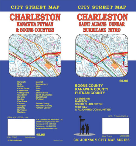
Folded color map of Charleston, West Virginia, and surrounding counties. One side includes main map of Charleston/Poca/Saint Albans/Nitro, with insets of Winfield, Clendenin, and Madison. Reverse includes thorough index and maps of Charleston/Vicinity, Marmet to Montgomery, and insets of Hurricane and Buffalo.
- Product Number: 2154131M
- Product Code: GMJ_CHAR_WV
- ISBN: 9781770681194
- Year of Publication: 2013
- Folded Size: 9.06 x 4.33 inches
- Unfolded Size: 26.38 x 38.58 inches
- Map type: Folded Map
- Geographical region: West Virginia


